For UK delivery businesses, the final quarter of the year serves as a rigorous operational test. As parcel volumes climb, the time available for each stop decreases, making efficient navigation a requirement for staying on schedule. To protect your daily drop rate, a route planner must handle high stop density and provide exact entrance data. These tools help prevent the delivery failures that often occur during high-pressure shifts.
The Delm8 app provides a practical framework for managing these seasonal spikes. By linking high-volume manifests directly with digital navigation, it helps fleet operations stay viable when local demand peaks. This guide looks at how routing software manages urban delivery surges and helps you protect your margins during the busiest weeks of the year.
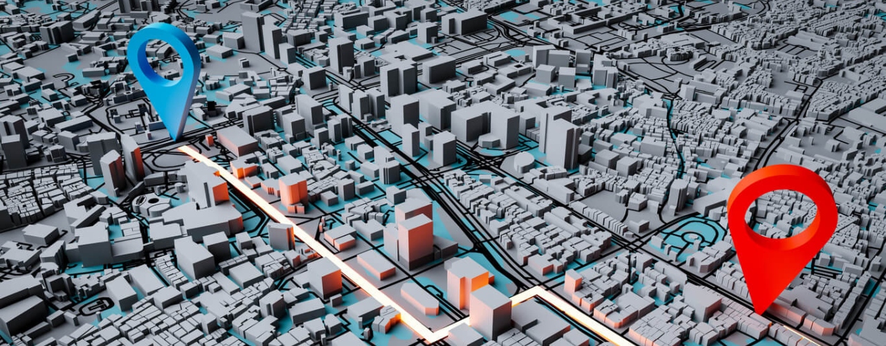
How does a route planner handle high-demand city delivery windows?
Profitability in logistics often depends on the time a driver spends at each doorstep. During a surge, managers evaluate city driving efficiency through “drop time” rather than just the distance between stops. If a driver spends an extra two minutes searching for a bell or a side entrance at every one of the 120 stops on a manifest, they add four hours of wasted time to their shift. This delay causes missed windows and leaves drivers exhausted.
Delm8 removes this search time by providing exact coordinates for every drop. Drivers can identify the best parking spot immediately and walk straight to the point of delivery. This level of exactness helps personnel hit their targets without the usual stress. A professional route planner keeps a high-volume route on track by cutting out the navigational guesswork.
Why do standard navigation apps fail during seasonal urban delivery surges?
Standard navigation apps hit a wall when a manifest contains too many stops. Developers usually build these tools for simple travel between two points, not the complex sequencing required for a 150-stop circuit. Relying on basic maps often results in “zig-zagging,” where drivers end up crossing their own paths multiple times throughout the day.
The best route planners solve this by using algorithms that can sequence routing in real-time. Delm8 organises stops by neighbourhood and even by the specific side of the street. This logic stops drivers from doubling back or making unnecessary turns in congested city centres. This efficiency saves on fuel and reduces the mental load of completing a demanding route.
High parcel volumes actually make your job easier if you use stop density to your advantage. Check your route planner for groups of deliveries in the same area before you start unloading. In many UK city centres, you can clear five or more parcels from one parking spot. Grouping these into a walking loop saves time and stops unnecessary wear on your van.
How do you optimise urban delivery routes for high-density areas?
Optimising for high density is mostly about knowing when to walk instead of drive. Experienced couriers clear their vans during peak periods by identifying groups of deliveries they can reach from a single parking point.
Standard navigation apps treat every address as a brand-new driving destination. Delm8 identifies these clusters for you visually. Seeing the proximity of doorstep coordinates lets you plan walking loops that bypass traffic jams. This method keeps you moving and significantly improves your hourly delivery rate.
How can drivers find addresses in the dark during winter deliveries?
Precise coordinate mapping is the only reliable way to find unlit house names or hidden numbers after 4:00 PM. Poor visibility is one of the main reasons deliveries fail in the UK during winter, leading to more parcels being marked as “address not found.”
Delm8 removes the need to rely on physical signs by using doorstep coordinates rather than vague postcode centres. Staying on schedule after sunset requires this level of accuracy, ensuring you get the delivery right the first time even in the dark.
Can a route planner reduce driver burnout during seasonal peaks?
Reducing the mental stress of a huge manifest is the most effective way to prevent driver burnout. Seasonal surges are exhausting because of the physical work, but the frustration of navigating a messy route causes the most fatigue.
Delm8 puts the manifest into a logical sequence so the driver can just focus on the road. Finishing a route within legal working hours makes it much easier to keep good drivers on the team. It also ensures the business stays fully staffed when demand is at its highest.
How much time can a route planner save during peak delivery periods?
In the delivery business, seconds saved are what make a shift profitable. On a 150-stop circuit, saving just sixty seconds per drop gives you back two and a half hours of productivity per shift.
Delm8 helps you reclaim this time by ensuring you do not have to go back for second attempts. Efficiency during peak periods relies on using accurate data to move through the day and protecting your profits through better timing.
Peak Season Survival: A Courier’s Checklist
Fleet managers and drivers should follow this protocol when things get busy:
- Load by Sequence: Put parcels in the van in the order the route planner suggests.
- Identify Walking Groups: Look for high-density clusters to stay parked for longer.
- Use Doorstep Coordinates: Find the actual entrance instead of just the general postcode area.
- Monitor Stop Times: Keep an eye on the time spent at each door to save hours later on.
How do I reduce delivery times during the Christmas peak?
Reducing delivery times is a matter of professional optimisation. To handle seasonal urban delivery surges, you should focus on these areas:
- Stop Sequencing: Putting the manifest into a logical, street-by-street driving path using Delm8 route planning solutions.
- Doorstep Precision: Using Delm8 address lookup and finder tools to find the real entrance.
- Current Data: Using updated UK property data to find new developments that are not on standard maps yet.
Utilising a dedicated system ensures that every mile you drive ends in a successful delivery.
Achieving efficiency in busy city peaks
Seasonal surges happen every year in the UK, but they do not have to lead to failed routes or burnt-out drivers. You can take control of how you respond to high parcel volumes.
A professional route planner gives you the data and the sequence you need for high-demand city windows. Saving seconds at every doorstep adds up to hours saved across the week. Our tools give you the accuracy you need to get through the busiest periods.
Prepare your fleet for the seasonal rush. Download the Delm8 app today to manage your urban delivery routes.
The Delm8 app provides the solution to these dynamic road changes by bridging the gap between physical street updates and digital navigation. By utilising property-level data and precise coordinate hand-offs, we ensure that fleet operations stay profitable even as local infrastructure evolves. In this guide, we explain how professional routing software manages UK road updates and why an adaptable system is essential for modern delivery work.
Why is my sat nav sending me to closed roads in the UK?
Local councils change road layouts to manage traffic or improve air quality. These changes include installing physical bollards and using camera-enforced restrictions. Industry reports from the CIHT show that many route-finding apps fail to update as quickly as physical infrastructure changes occur.
When a council modifies a layout, the new information moves slowly to standard mapping software. This delay causes systems to guide drivers toward roads they cannot legally enter. For a business, this delay results in delivery lags and traffic fines.
Pro-Tip: Navigating Road Barriers
When you approach a new LTN or “School Street,” look for blue and white signs such as “No Motor Vehicles.” Do not rely only on a phone screen. If a road contains planters or bollards, use your address finder to locate the nearest accessible street. Approaching a property from the wrong side of a barrier can force you to drive a much longer distance to reach the destination.
How do I navigate Low Traffic Neighbourhoods (LTNs) without getting a fine?
UK urban planning often employs “filtered permeability.” This method uses physical barriers to allow pedestrians and cyclists to pass while blocking vans and cars. These changes turn some residential roads into dead ends for delivery vehicles.
Standard GPS tools often show these roads as connected and route vehicles through them. Professional software identifies that a specific road prevents access for commercial vehicles. Navigating these areas requires a tool that plans the exact approach to a property. Delm8’s route planner app solves this by providing precise doorstep data, ensuring the driver arrives at the correct side of a barrier and avoids the frustration of turning around in a narrow street.
Can a route planner protect my business from AI-powered traffic fines?
Many council layouts now use digital restrictions instead of physical bollards. Councils use ANPR (Automatic Number Plate Recognition) cameras to enforce “School Streets” and restricted access zones. In 2025, these cameras became common in major cities like London and Birmingham.
A Penalty Charge Notice (PCN) costs between £65 and £130. For many couriers, one fine removes the profit earned from a full day of work. Specialist apps help drivers avoid these restricted zones. Accurate routing reduces the risk of receiving these fines by planning paths that follow current road rules.
What is the best route planner for UK council restrictions?
Developers build standard navigation apps for general use. In professional logistics, small delays caused by road closures reduce daily profit. Professional routing software manages council layout changes by allowing drivers to enter specific coordinates.
When road layouts change, a professional tool allows drivers to mark restricted points and share that information with a fleet. This prevents other drivers from making the same mistake at the same location. Delm8 ensures routes remain accurate by utilising recent road data that consumer apps often overlook. Finding the best route planner app for your specific delivery needs is essential for avoiding these local authority restrictions.
How Delm8 provides the best route planner app for evolving roads
Delm8 route planning solutions support the UK road network by focusing on the final stage of delivery.
- Precise Coordinate Hand-off: Export coordinates to a navigator to approach a property from an accessible side.
- Address Lookup Tools: Use Delm8 address lookup and finder tools to verify destinations before starting a route.
- Dynamic Database: Access a database that includes recent UK property information.
These features help businesses by reducing driver stress. When a driver follows an accurate route, they focus on driving safely. This helps fleet managers avoid accidents caused by navigation confusion.
How do I manage a delivery fleet on changing UK roads?
Managing a fleet requires a tool that handles road changes automatically. If a route planner fails to update, a fleet manager must spend time re-routing drivers manually.
The best route planner app for road changes automates this process. Integrating address data with navigation creates a workflow that accounts for current UK streets. This reduces the extra miles that drivers cover while circling blocks to find an entrance. Giving a team professional tools like Delm8 also helps keep drivers in the job. Drivers experience less frustration when they do not get stuck, which makes the workforce more stable.
Taking control of dynamic road changes
Using outdated maps when councils change roads frequently creates a risk to business profit. Time and fuel wasted on navigation errors reduce earnings.
Choosing a professional route planner helps a business manage infrastructure changes. Whether the change involves a new cycle lane or a camera restriction, your routing software should help you find the way. Our tools provide the data needed to navigate UK roads with confidence.
Download the Delm8 app today to use the best route planner app for your delivery business.